


Length
9 km

Duration
3.45 hours

Degree of difficulty
Medium
According to accounts, Felipe II himself chose these surroundings to built a monument that “would reveal his power and greatness to coming centuries” due to the great abundance of waters, the fertility and freshness of the land, the high quality of the granite stone and its proximity to good, plentiful pine forests for building materials (Valsaín, Guadarrama, Pinares Llanos, El Quejigar and Navaluenga). We begin our walk, going deeper into this marvellous natural environment which captivated the monarch.
(1) We leave the stone-paved forecourt of the Monastery, la lonja, through the archway the Arcos de la Compaña, turning to the right and walking between the small park (the parque Carrero Blanco) and the University María Cristina. As we pass the park, we can see one of the magnificent specimens of Virginia red cedar inside its walls. Then we go up the avenue Conde de Aranda until we reach the…
(2) …archway, the Arca del Romeral at the foot of the reservoir of the same name, which gathers the water channelled from the areas of the Arcas de la Merinera and from El Helechal. The dam wall of the Presa de El Romeral, built by Juan de Villanueva in the 18th century, cracked in the winter of 1944, the same occurring simultaneously at the Presa del Batán.
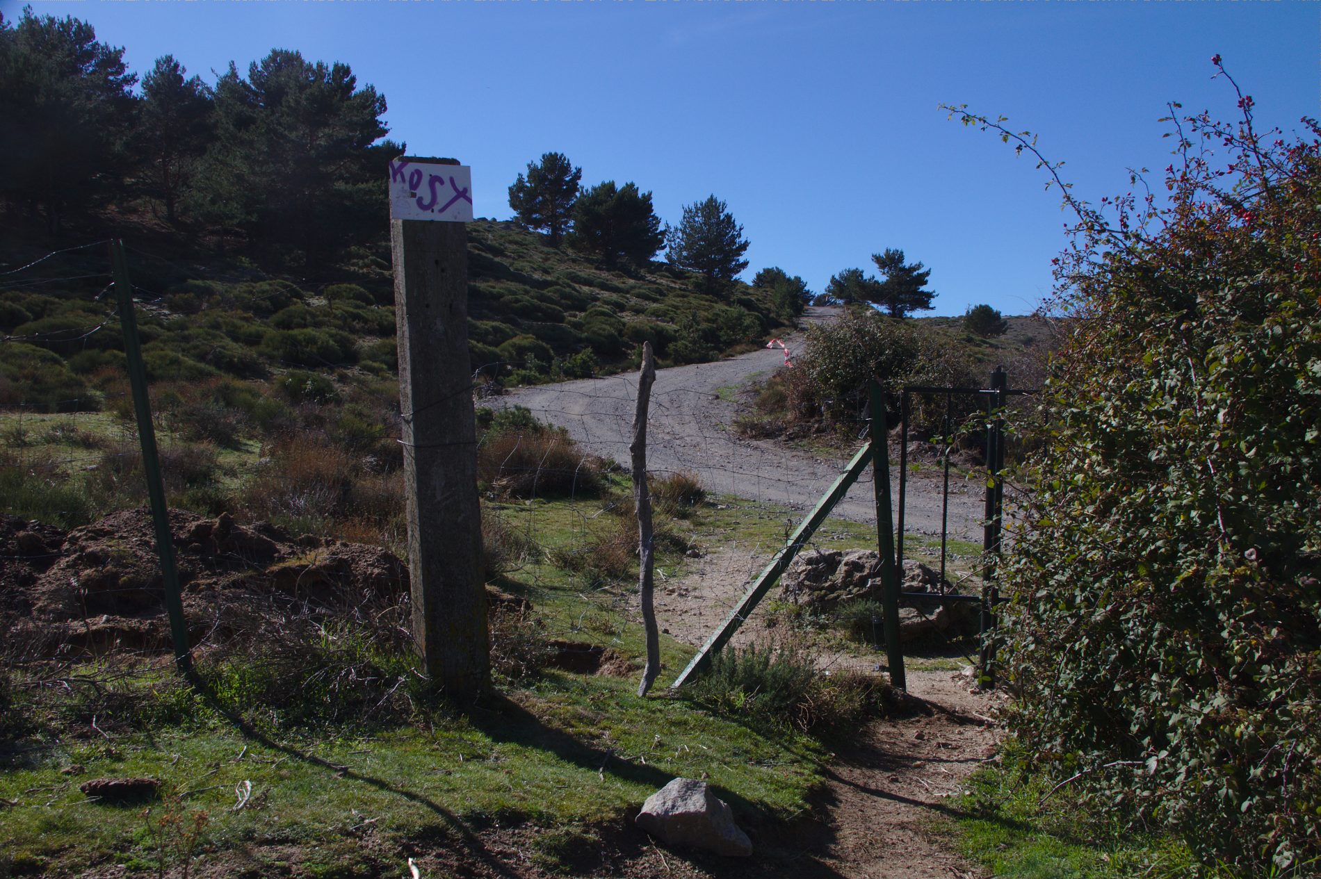
At the side of the dam, three sets of stairs start from where the path appears (surrounded by rockrose and gum rockrose) and then the path begins to move away little by little from the wire fence, always in an upwardly direction, parallel to the stream called Arroyo del Romeral until it reaches a grey gate with a spring: here we have come onto the route of the Cordel del Valle. The track keeps going upwards opposite the gate until we reach the road. This path carries on into a pine wood of maritime pine, a predominant species in the area, together with prickly juniper, Spanish lavender, … We must be careful not to wander off to the left, due to getting confused by the wooden arrows signalling the way to the arboretum, el Arboreto.
(3) Once on the road, just ahead, the path known as the Camino de los Gallegos starts. We can see lovely examples of Spanish fir and Pyrenean oak. All along this path, there are marvellous views of the crest of mountain (Monte Abantos). The numerous falls of rocks from here gave the name to the stream that was known as the Arroyo del Cascaja, currently called the Arroyo del Romeral. We can find Montpellier maple, Holm oak, Portuguese oak, Sessile oak, cherry trees… surrounded by ephedra fragilis and Scotch broom (the pulses of the latter mature before those of the former).
About 300m to the right on the road is the fountain known as Fuente de la Concha, around which we can find species such as fir trees, chestnuts, maple, snowy mespilus, goat willow, birch, willow, almond trees, safix salviifolia, ash, black poplar, cedar and wild pear.
Upon continuing our walk uphill, we come upon numerous and magnificent examples of larch and beech coming from the reforestation carried out by students of the forestry school, the Escuela de Ingenieros de Montes, until the school was moved to Madrid in 1914. There is also Erica scoparia and common juniper, accompanied by peonies. All this lives in harmony with the predominant species at these altitudes, the Scots pine. A little before leaving the Camino de los Gallegos, to our right is the fountain of the Trampalón.
(4) This path takes us directly to the meadows that are at the foot of the pass called the Puerto de Malagón. We reach the asphalted track that leads up to this pass. In the clear of the mountainside, we can see at the top of some pine trees the winter nests woven in white silk by a fearsome caterpillar: the pine processionary caterpillar. After eating completely through the needles of the pine they are on, in the first warm days of spring the caterpillars leave the pine trees in a procession to search for a suitable place underground where they will turn into butterflies.
We reach the pass, the Puerto de Malagón (1536 m). On the right, the track continues towards Peguerinos and another pass, the Puerto de Los Leones. Opposite us, we have the reservoir, Embalse del Tobar, which supplies water to San Lorenzo through a tunnel that runs through the mountain. We now cross the “Finnish pass” or Paso Finlandés and turn onto a wide trail that comes out on the left.
On the sunny slopes, the pine forest coming from the reforestation survives, while the rest of the area is dominated by fabaceae, or plants of the legume family, such as Spanish gold broom and adenocartpus hispanicus. On the first species, small foamy masses may be observed; inside these, tiny cicadas are protecting themselves from predators and dehydration. These are insects belonging to the Hemiptera insect family.
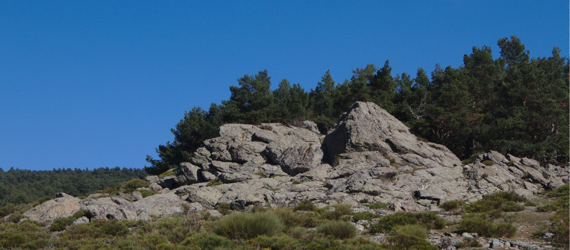
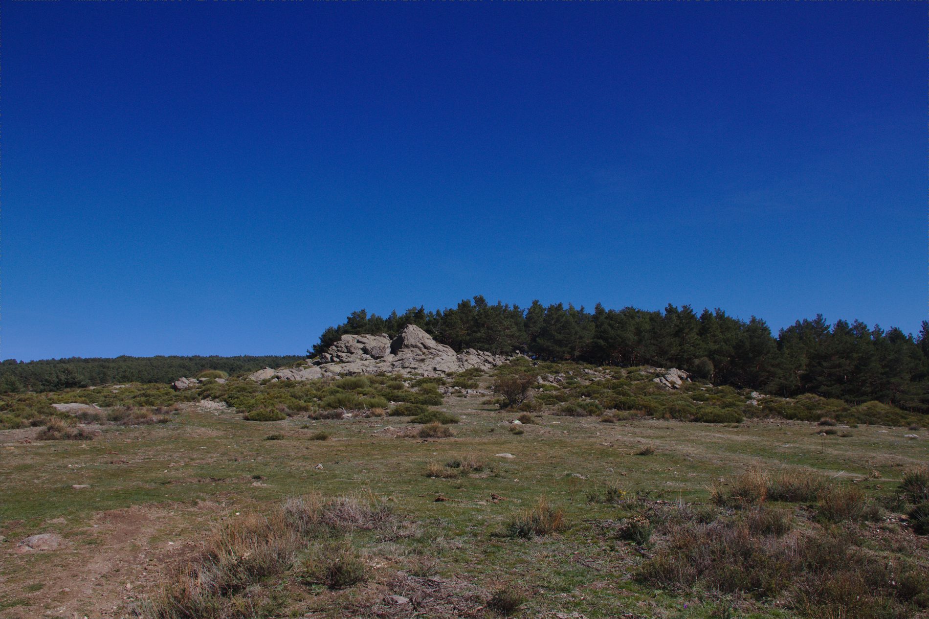
While we continue to follow the path upwards, we can see on the pathway tiny white rocks coming from an outcrop of marble which has arisen in the middle of the gneiss granite that dominates this area. We follow it until we reach, on the right-hand side, a fountain-trough…
(5) …and the meadows that give rise to the Arroyo del Hornillo (it is the valley parallel to the dam and stream of the Tobar). There is no marked path, but it can’t be missed because we only have to follow the riverbed that leads us directly to the pine forest. Once there we take a path parallel to the stream among the pines that ends up in a forest trail; we walk along it for a few metres until the path moves away from the stream, at which point we cross the stream. Here, we stop walking parallel to the stream and instead we go along the slope without losing height, following the walls that are parallel to the stream.
We return to the stream through a quite steep track where we find once again with the pine forest and a small group of poplars. The path appears once again on the left.
(6) The waterfall known as the Cascada del Hornillo is just a few minutes away. Once we reach it and start going down the side on its left, we come to a forest trail (now, off the route) that gives on to a recreational area next to the bridge of the Aceña river, on the road linking the villages of Robledondo and Santa Maria de la Alameda.