Abrir navegación por teclado

Loading ...

  1. Home
  2. Routes
  3. Loading ...
  4. Loading ...
FacebookInstagram
Abantos repopulation route

Abantos repopulation route

  1. Home
  2. Routes
  3. Nature Environment
  4. Abantos repopulation route
FacebookInstagram

Tourist information

Addresses and contact

Tourist information

Addresses and contact

Tourist Office

C/ Grimaldi, 4, 28200 San Lorenzo de El Escorial

Hours:

  • Monday: closed.
  • Tuesday to Saturday: from 10:00 to 14:00 and from 15:30 to 18:00.
  • Sundays: from 10:00 to 15:00.

Web contact

turismo@sanlorenzodeelescorial.org

+(34) 91 890 53 13

National Heritage

patrimonionacional.es

Online bookings and tickets

San Lorenzo Town Hall

San Lorenzo City Council

Tourism of the Community of Madrid

Tourism of the Community of Madrid

Magical Towns of Spain

Magical Villages of Spain

Tour Description

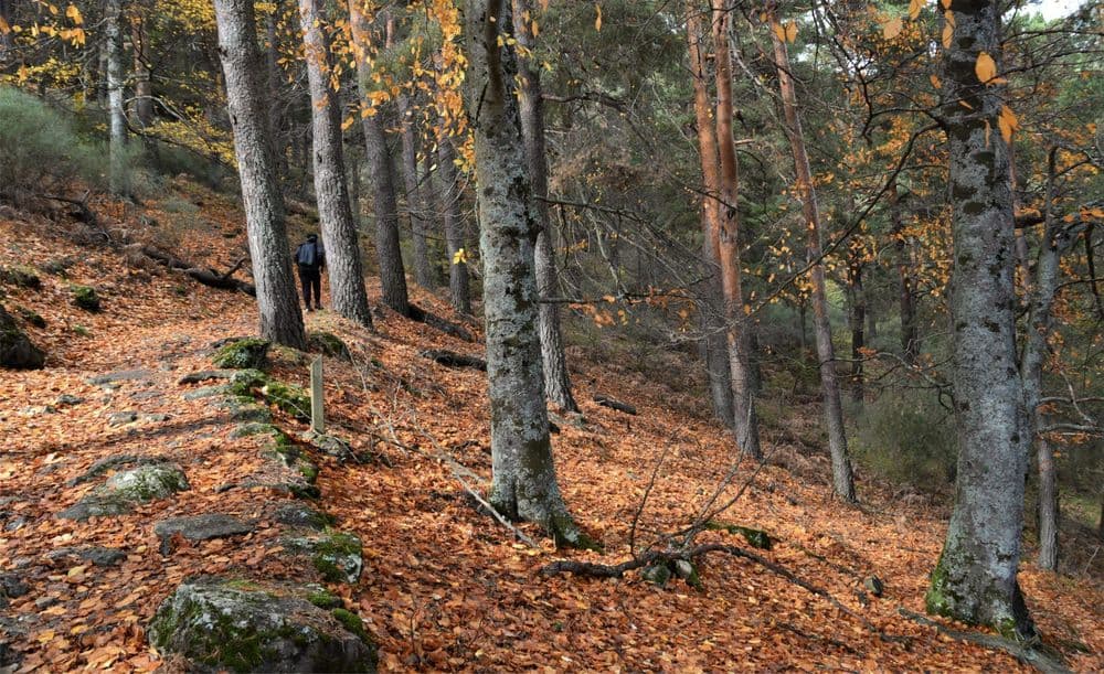
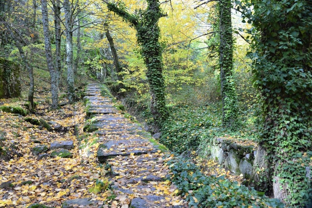
During this march, we will enjoy the beauty of Abantos, created by the effort of the men and women who worked on the repopulation.

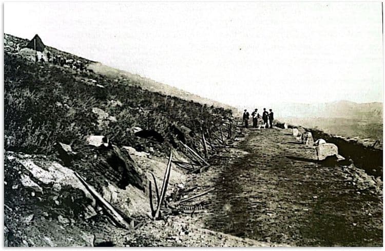
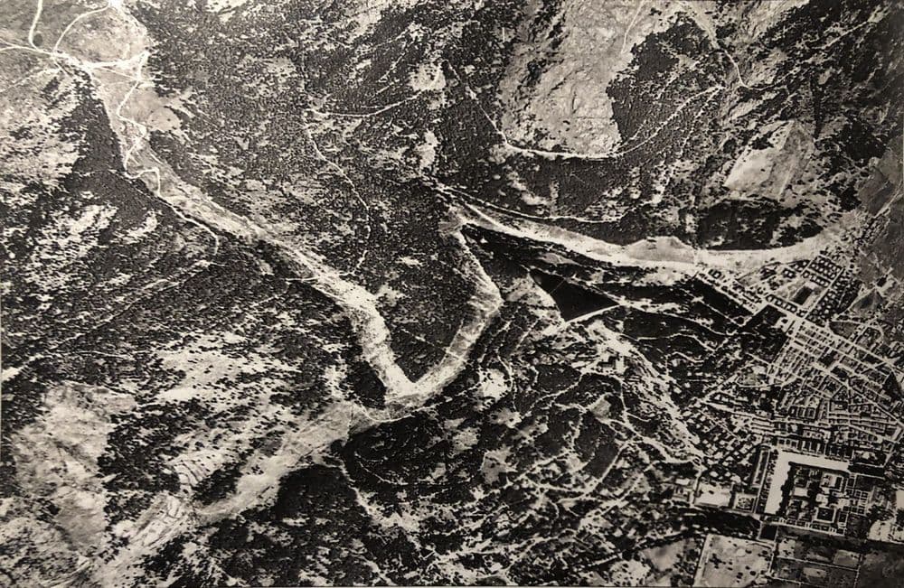
In 1892, the transformation of a rocky and treeless mountain into a magnificent pine forest with lush corners and beautiful walks began. It was the first scientific reforestation in Spain, led by Miguel del Campo, a professor at the School of Forest Engineers, then located in San Lorenzo de El Escorial.

The repopulation of Abantos was a genuine feat and had to overcome great challenges and difficulties: degraded soils, summer droughts and insect pests. It established the foundations for Spanish forestry, served as a laboratory for species and planting techniques and trained generations of forestry engineers.

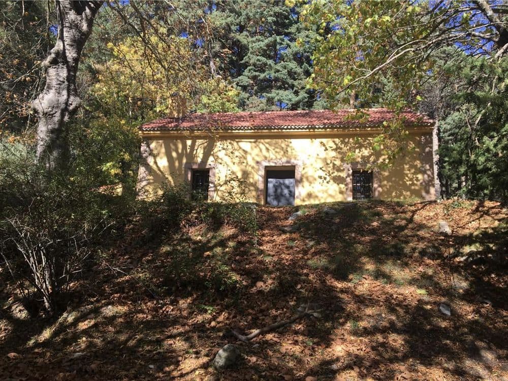
Arca del Romeral

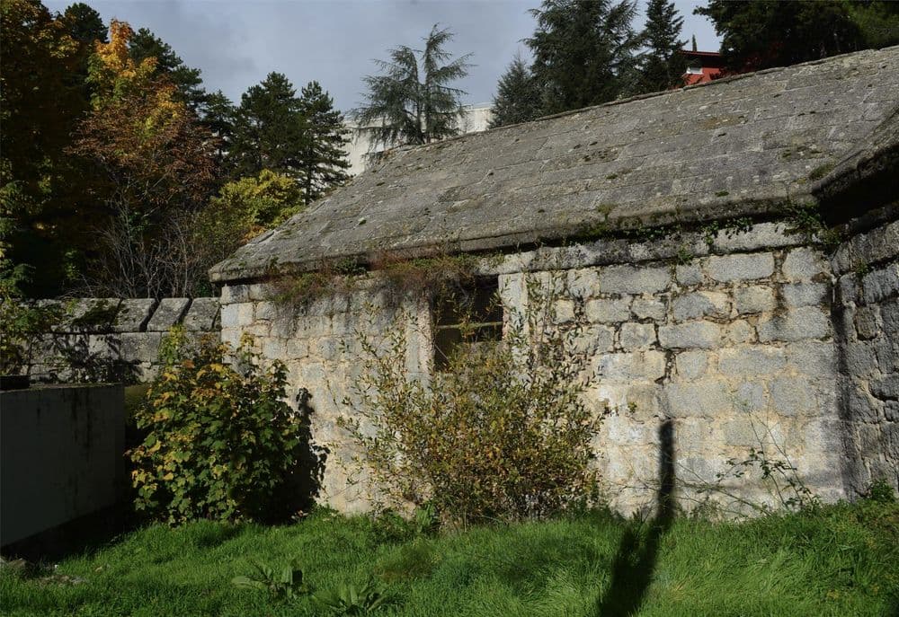
Next to the dam built in the times of Alfonso XIII, to supply the nascent summer colony, is the Romeral stream cistern, the primitive and original water supply and filtration system.

Parque de Miguel del Campo

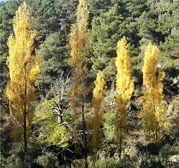
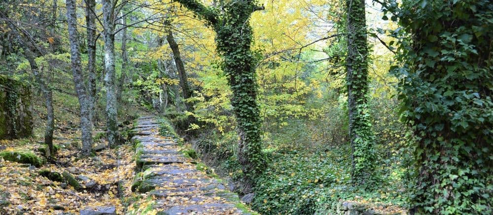
In April 1892, repopulation began in this place. Years later, in 1929, it was inaugurated as a forest park in honour of Miguel del Campo, the engineer behind the project. Today it is a lush forest with a multitude of tree species: century-old lime, chestnut, Spanish fir and poplar trees.

Vivero de los Gallegos

The name of this trail, known as the “camino de Los Gallegos”, is due to the workers who travelled from those lands to Castilla to take part in the harvest. At this point, you can enjoy a short journey into the past.

The Alerces lookout

In this place, we can enjoy a peculiar grove of two species that are rare to see in Madrid: beeches and larches. As an experiment, they were introduced to Abantos by the School of Forestry, and today it is one of the many peculiarities that make our walk exceptional.

Arboreto Luis Ceballos

The arboretum features 250 species of trees and shrubs native to the Iberian Peninsula, the Balearic Islands and the Canary Islands. The centre carries out extensive environmental education work, organising courses and activities for both adults and children.

Los Llanillos

Miguel del Campo ordered the construction of the mountain's most important nursery in this recreational area. Today, it features a unique elm, a survivor of graphiosis, which was planted by forestry engineers in the 19th century.

The valley's twine

From here we can contemplate the famous historical fence of Philip II, the stone wall that perimetered his domains, as well as enjoy beautiful views of the La Herrería forest, and the mountains of Las Machotas, the pico del Fraile and Los Tres Ermitaños.

Arroyo del helechal

This stream originates slightly above the Luis Ceballos arboretum and carries its waters to the Infante dam (18th century). This part of the mountain, the Romeral, was also repopulated by Miguel del Campo in the early 20th century after the success of his first steps was confirmed.

The horizontal

In this section of our journey, we will enter the Abantos-Romeral Sur colony. This neighbourhood, integrated within the forest itself, is a testament to the first summer houses built for the relaxation of the people of Madrid.

Euroforum Felipe II and school headquarters

We encourage the walker to conclude this peculiar route by visiting the headquarters of the Escuela de Montes in c/Floridablanca, the location of the first Casa de Oficios during the era of Philip II (16th century) and today, the municipality's Casa de la Cultura.

Monuments

Events

Routes and trails

How to get here

Accommodations

Restaurants and bars

Family plans

Tourist information

Route stops

10 paradas

Cargando mapa...
Cargando mapa...
1

1. Arca del Romeral

Historic reservoir of the Romeral stream, part of the ancient royal hydraulic system that conveyed water from the slopes of Abantos to the dams and gardens of the Royal Site of El Escorial.

Monument
2

2. Parque Miguel del Campo

Forest park built in 1929 next to the Romeral stream, with an extraordinary diversity of trees —cedars, lindens, maples, chestnuts— and the historic fountains of La Teja and La Currutaca.

Nature
3

3. 9. Vivero de los Gallegos

Fenced area of Mount Abantos where the terraced slopes with cherry trees can be seen, ancient orchards granted to forestry agents for their cultivation and personal use.

Nature
4

4. Mirador de los Alerces

El Mirador de los Alerces is a site in Monte Abantos where a unique grove of beech and larch trees is preserved, species that are uncommon in Madrid and were introduced by the Escuela de Montes.

Monument
5

5. 14. Luis Ceballos Arboretum

Botanical garden located on the slopes of Mount Abantos that houses more than 500 tree and shrub species from all over the world, including magnificent Spanish firs and other large conifers.

Family
6

6. Olmo de los Llanillos

Notable specimen of elm (Ulmus laevis) located in the Bosque de La Herrería, a large tree that stands out for its span and its location within this protected natural area of the Real Sitio.

Nature
7

7. The Valley's Cord"}

El Cordel del Valle is a historic section of the Abantos area, linked to the ancient network of livestock routes and considered a branch of the Cañada Real Leonesa. From this point, one can contemplate the historic fence of Philip II, the forest of La Herrería and the mountains of Las Machotas, Pico del Fraile and Los Tres Ermitaños.

Nature
8

8. Arroyo del Helechal

The Arroyo del Helechal originates near the Luis Ceballos Arboretum and runs through the surroundings of the Romeral, an area of Monte Abantos linked to forest reforestation from the beginning of the 20th century.

Nature
9

9. The Horizontal

La Horizontal is a section of the Ruta de Repoblación de Abantos that leads into the Abantos-Romeral Sur colony, a neighbourhood integrated into the forest and linked to the first holiday homes built as a place of relaxation for people from Madrid.

Nature
10

10. 1. Euroforum Felipe II

Starting point of the Abantos Treasures route, located next to the Euroforum Felipe II facilities in the upper part of the municipality, from where the ascent to Mount Abantos begins.

Monument
App Icon
San Lorenzo AppBetter experience
Abrir
San Lorenzo de El Escorial
What to visitWhat to DoHow to get hereInformationNews and EventsContact
Funded by the European Union NextGenerationEU
Gobierno de España
Recovery, Transformation and Resilience Plan
Comunidad de Madrid
San Lorenzo de El Escorial Town Hall

Official tourism portal of San Lorenzo de El Escorial

Discover San Lorenzo

Plan your Visit

Legal

  • Sitemap

© 2026 Ayuntamiento de San Lorenzo de El Escorial

Other routes

Route through Monte Abantos that discovers the history of its reforestation, among pine forests, nurseries, viewpoints, streams, and spaces linked to the Escuela de Montes.

Distance10 km
Duration3.0 h
DifficultyMedium
Stops0
San Lorenzo de El Escorial
Heritage and Monuments
Nature and Landscapes
Frequently asked questions
Mobility
Where to stay
Where to eat
Sustainable tourism
Legal notice
Data protection
Privacy Policy
Cookie Policy
Accessibility statement