National Heritage
San Lorenzo Town Hall
Tourism of the Community of Madrid
Magical Towns of Spain
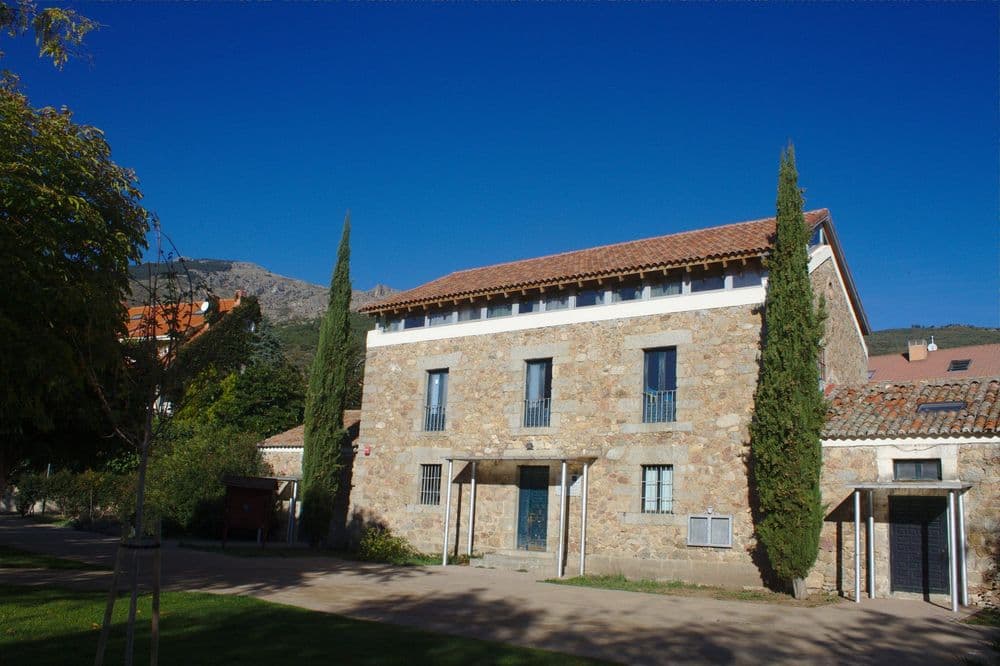
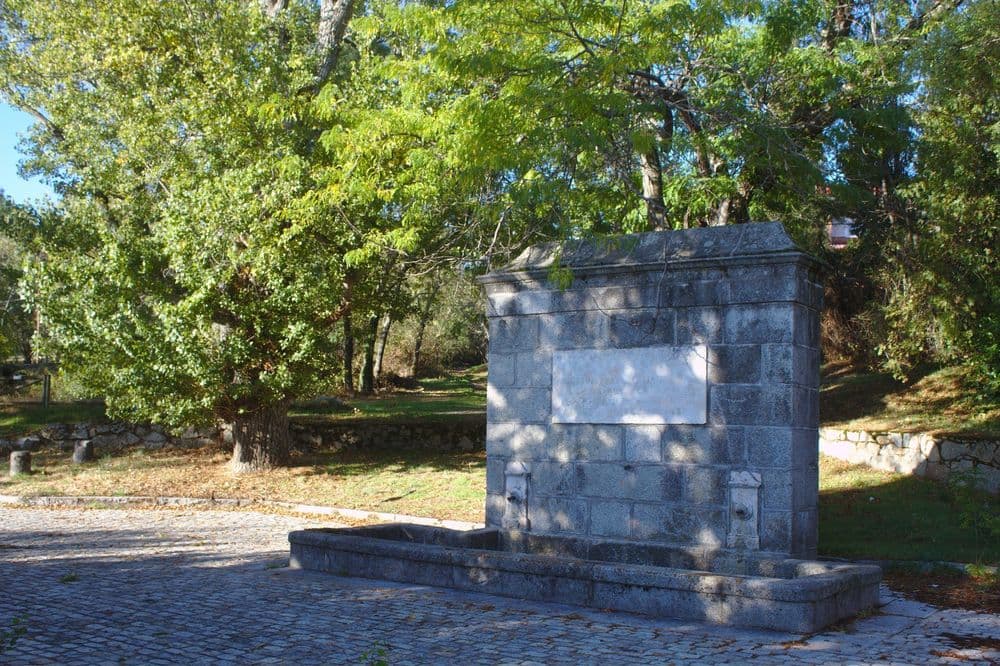
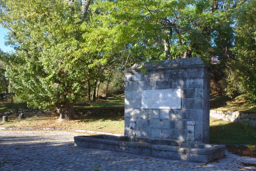
(1)We start from Fuentenueva, next to the Guadarrama road (M-600), beside the Felipe II Urbanisation. It was built by Fernando VII in 1815 and is close to…
(2)…to the Natural Resources Centre Hostel, of the same name. We are surrounded by magnificent specimens of ash, wild service tree, elder, wild plum, Vizcaya ash, elms, blackthorn, poplar, and three-thorn acacia. The private gardens of the area serve as a refuge for blackbirds, robins, common reed warblers, coal tits, blue tits, garden warblers, etc. The information panel placed near the Casa del Polvorín will help you identify them. This transition stretch between pine forest and holm oak forest is used by long-tailed tits as a passage from one ecosystem to another.
The route ascends along a path parallel to the right bank of the Arroyo del Barrancón and leads to the Polvorín area (a plateau where we leave to the right the wall that rises to the Pico de Abantos and the Arroyo del Barrancón). Much of the area burned in the summer of 1999, which is currently being reforested and regenerating, can be seen.
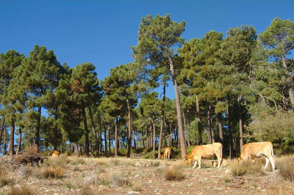
To the left is the El Tomillar recreational area, consisting of a pine forest of Austrian pine and stone pine, accompanied by small holm oaks, heavenly sword, cypress and false acacia with its characteristic clusters of white flowers popularly known as pan y quesitos. Among the shrubs we find scented broom, black broom, broom, laburnum and torvisco, along with small plants such as jarilla and botonera. It is a good area for spotting orioles, booted eagles and buzzards.
The path leads to the paved forest track, continue along it for 50 metres and turn left at the Paso Finlandés, (we observe a mass of melojo, an example of the vegetation that predominated on these slopes). In spring and summer, we will see a multitude of European bee-eaters flying over the area. The pine forest alternates with open areas where we can find Eurasian nuthatches, common chiffchaffs, common chiffchaffs, Eurasian siskins, Eurasian chaffinches, mountain wheatears and a multitude of great tits. All seasoned with the noise of the long-tailed tits moving from one tree to another. The path levels out, passing by the Arroyo de La Cruz and further ahead…
(3)…the Las Cebadillas stream. The presence of the miera juniper and the sticky rockrose stands out, accompanied by rose hips, blackberry, marjoram, thyme, and lavender. If you climb up the stream, you will discover groups of magnificent chestnut trees.
In this part of our route, the livestock track we are following constitutes the altitude limit of the urban centre of San Lorenzo de El Escorial, above which rises Monte Abantos, declared a Picturesque Site in 1961, and ends by joining the Miguel de Unamuno promenade. Before the cemetery, we turn right onto Puerto de Malagón street and, ascending above the houses through a corridor of pines, we reach the Arroyo de La Barranquilla. In its valley, the groves formed by numerous specimens of Spanish fir, introduced by the Special School of Forestry Engineers at the beginning of the last century, are particularly prominent.
From here, we continue along the Cañada Real Leonesa, adjacent to some villas on our left, until we reach the paved forest track, which we cross to descend along another unpaved track that leads us to the Arroyo del Romeral.
(4)We reach the Romeral valley, whose riverbed appears channelled up to the dam of the same name. In this area, we observe a great variety of species such as Pyrenean oak or Monterey pine. We continue parallel to a medium-voltage power line, eventually reaching a gate, which we cross.
(5)We take the path to the right which leads us to the Arroyo del Helechal. A few metres upstream, we will see the ark. It is a construction of granite ashlar, which, along with others of similar characteristics, were ordered to be built by Philip II for the catchment and water supply of the Monastery. Inside, you can observe the system of piles for the progressive decantation of impurities. Downstream, we would reach the Presa del Infante. Being a fairly wide track, it provides the lizards and geckos of the area with a good basking spot. Common buzzards are especially abundant, along with booted eagles and some kestrels. And, waiting until the last moment to take flight, we will come across hoopoes.
After crossing the Arroyo de Los Castaños, the path splits into two: we follow the more prominent one, on the left. Further on, we rejoin the power line and follow it until we reach an estate called El Cobijo. After passing it, a path appears to the right. The predominant vegetation is the black pine with thickets of the previously mentioned Rosaceae—blackberry, hawthorn—and the occasional scrub oak. Cistus ladanifer is abundant, and juniper, lavender, and ferns will begin to appear.
(6)Here begins the Snail's Path, which winds upwards to a track where we can appreciate the characteristic flag-like stature of a fine specimen of Scots pine or mistletoe, a parasite of pines.
(7)Gradually, and once we have passed the «belly» of the La Cabeza ravine (the slope we are crossing), we sight and reach La Torrecilla, a gneiss rock that rises above the slope, with a height of about twenty metres, and which gives its name to the nearby stream.
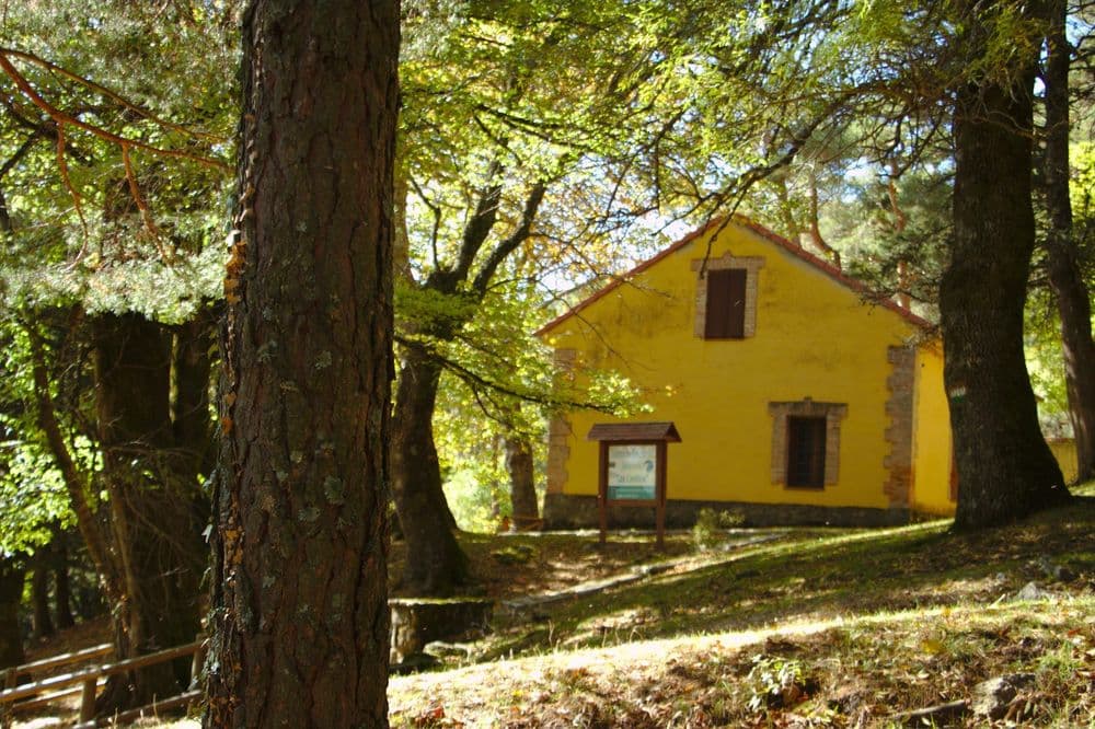
(8)To the right, we make our way to the Los Llanillos recreational area and its shelter, now converted into an Environmental Education Centre. In this area, a former forest nursery, we can see species such as the maritime pine, chestnuts, plane trees, willow beds, poplars, elms —the one next to the fountain is listed as a singular tree— maples, ashes, aspen poplars, cherry trees, Montpellier maples, boxwoods, Lawson cypress, alders and cedars).
(9)A little further on (off the route), we will find the Luis Ceballos Arboretum.
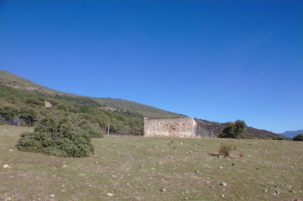
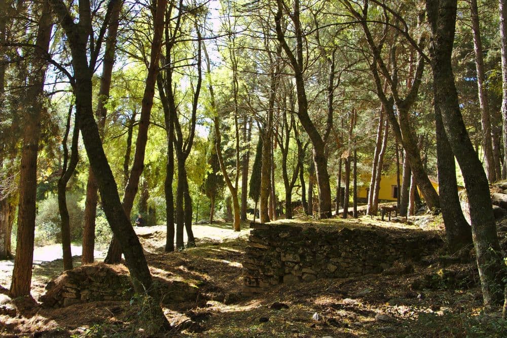
The route takes us to the left, towards the Arroyo del Avispero, and beside it is a wall, which we cross. From this point on, the path continues along the multiple trails formed from the terraces used for reforestation. We will again see the aforementioned fauna, with coal tits and blue tits being particularly abundant towards the end. And in the areas near the stream, Eurasian blackcaps and common whitening. Montagu's whitethroats, common chaffinches... and many common redstarts will also be seen. In the open areas, we will enjoy panoramas of La Herrería (with the Presa del Batán in the foreground), Las Machotas, or the Puerto de la Cruz Verde.
9 paradas







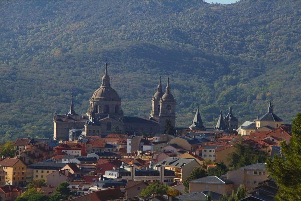
Natural route from Fuente Nueva to Casa de los Llanillos, a journey through pine forests, streams, reforestation areas and landscapes in the surroundings of Abantos.