Loading ...
National Heritage
San Lorenzo Town Hall
Tourism of the Community of Madrid
Magical Towns of Spain
We start from theTourism Office (1)and we go parallel to theLonja (2)of the Royal Monastery. As we go around it, we can see on one of its slabs, the plaque that commemorates the layout of theastronomical meridian (3)in the Royal Site, created by D. Luis Ceballos Medrano in 1905. Through theArcos de la Compaña (4), we turn right and go up Conde de Aranda avenue to continue along Pinar street.
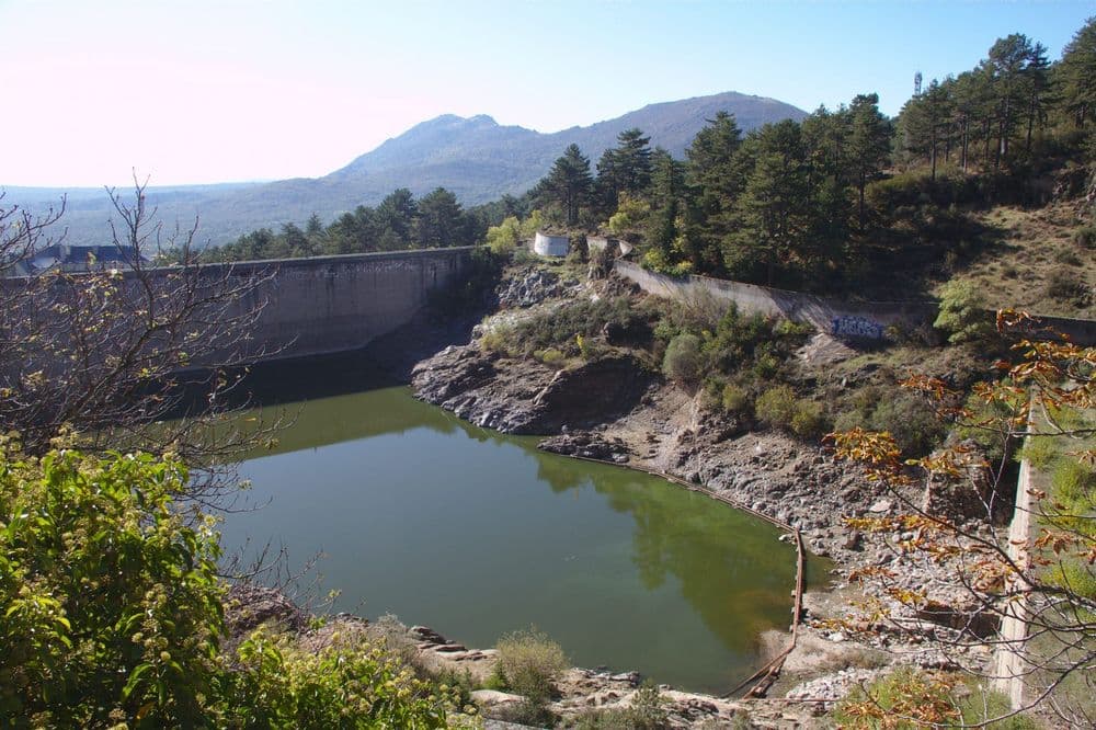
A few metres ahead, there is a turn to the leftunpaved road (5)which goes up to the Fuente de la Bola. In this area, the pine forest consists of laricio pine. Along the same street, we exit next to thePresa del Romeral (6). We will find swifts and airplanes, and kestrels, kestrels, and —exceptionally— pairs of booted eagles can be seen over the mountains. Walking along the left edge, we reach theRustic Cottage (7). Following the fence, we enter theParque Miguel del Campo (8), built in 1929, and through which the Arroyo del Romeral flows.
In this park are theFuente de la Teja y laFuente de la Currutaca (9). We find a great variety of tree species, such as Atlas cedar, miera juniper, numerous specimens of white maple, old lime trees with their characteristic longitudinally cracked bark, cherry, horse chestnut, Spanish fir, young specimens of elm, chestnut; old poplars… Among the scrubland, we will be surprised by the wren, the subalpine warbler and the long-tailed tit. The laughter of the Eurasian jay can be heard and the occasional jay can be seen.
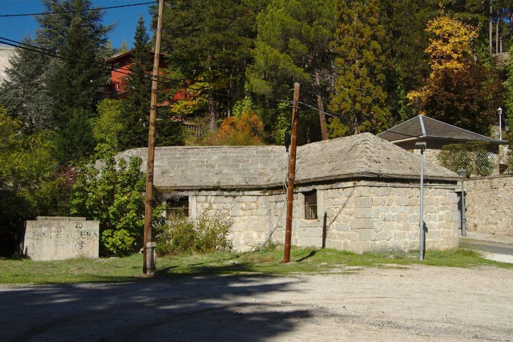
We left the park for apath parallel to theArroyo del Romeral (10), to reach adeposit on the bend of the road (11).We will continue for a few metres until we reach aunpaved forest track (12);entering it and to the right we see a path with the characteristic red and white marking of the GR 10 Trail. The main species of Abantos begins to stand out: the resin pine or negral. It is accompanied by piorno and black broom, sticky rockrose, cantueso, torvisco...
The path crosses the road following these strips and we observe the terracing of the terrain carried out in the 19th century for the planting of the pine forest. We will see some thorny rosaceae such as blackthorn, hawthorn, dog rose (its red fruits are commonly called “tapaculos” due to their astringent qualities) and blackberry. Along this section, there are plenty of pine cones eaten (except at the apex) by squirrels, wild boar rooting, and the droppings of mammals such as foxes, beech martens, etc.
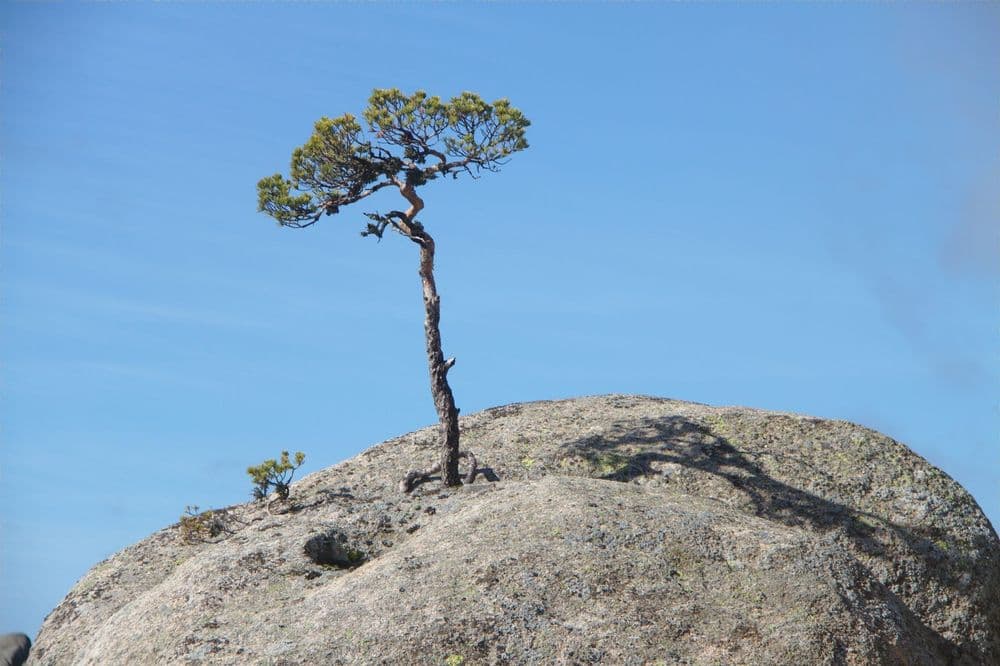
Further up, the resin pine gives way to thewhite pine or wild pine (13), easy to distinguish by its orange bark, which will be the predominant species from now on. At this altitude, we can find specimens of the laurel rockrose (Cistus laurifolius), different from the sticky rockrose due to its wider and curlier leaves. It is accompanied by ferns, black broom, Spanish broom, cantueso, and meaperros.
We continue the ascent along a path dotted with isolated feet ofmelojo, holm oak, Montpellier maple (14)and, in the valleys, along the stream beds and ash trees. On the branches of the latter, during the summer, you can see Abraxas pantaria L. caterpillars, eating the leaves and hanging from fine silk threads.
Without crossing the Arroyo del Romeral, we ascend to theFuente del Cervunal (15)It owes its name to the mat-grass (Nardus stricta), a mountain grass that surrounds it, and it is accompanied by St Anthony's grass. Overhead, planes and swifts.
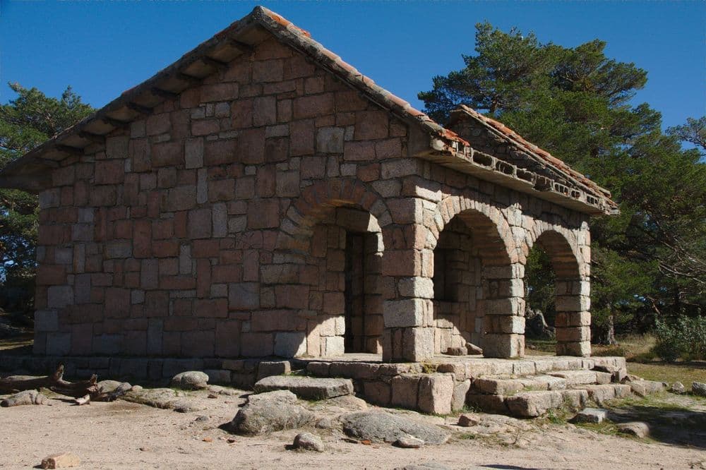
A bit further up, we take thetrack leading to Mount Abantos (16)from theroad (17).To the left we emerge onto said road, near where the return path begins: the Camino de los Gallegos. To the right, the track ends at theCasita del Telégrafo (18), so called because it served as such via the old flag system.
We can continue to there or turn left, shortly before, and go up to thePico de Abantos (19).Flying over the granitic masses, crows, jackdaws, and rook are abundant, and with a bit of luck, as they are quite elusive, we may be able to see a solitary wallcreeper.
Behind theweather station (20)and pressed against a wall, we find thedry stone fence (21)ordered to be built by Philip II around his domains (a Historical Territory declared an Asset of Cultural Interest that covers most of the municipalities of San Lorenzo de El Escorial and El Escorial). It measures about forty-six kilometres and is nine to twelve feet high. The vegetation consists of mountain broom dotted with luzulas and other herbaceous plants, among which Iberian lizards, long-tailed lizards, and ocellated lizards are usually found. It is relatively easy to see common kestrels, common buzzards, booted eagles and, more rarely, booted eagles and goshawks (in the pine groves). This vegetation provides shelter for foxes, rabbits and wild boars, whose tracks and rooting are quite evident on the ground.
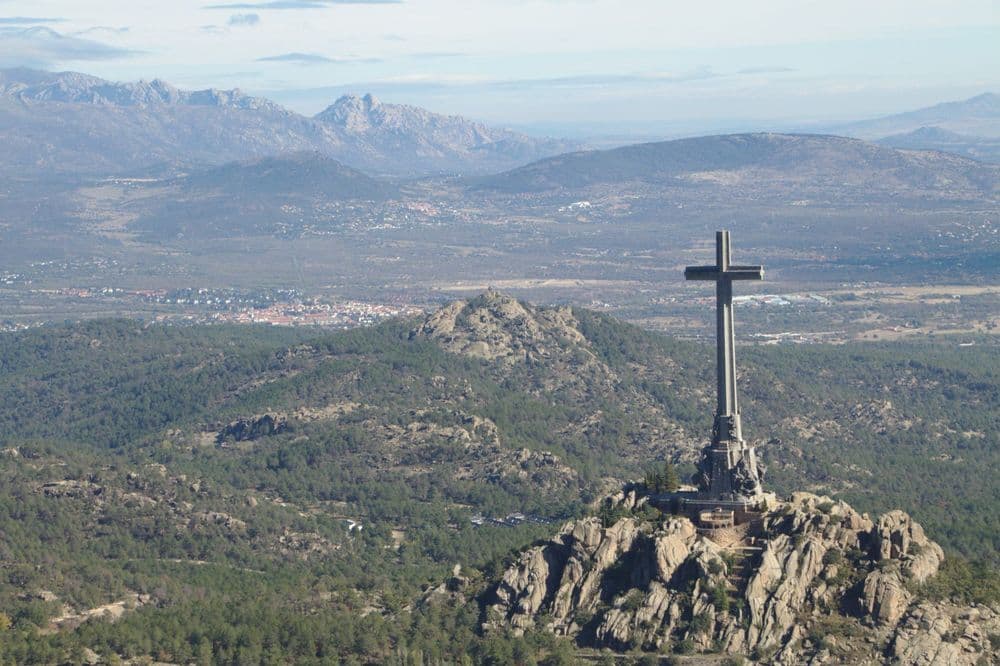
A path descends to thePortillo de los Pozos de la Nieve (22). We reach a wire fence that borders the provinces of Madrid and Ávila, we cross it and another gate in the Cerca de Felipe II provides access to apozo de la nieve (23)built in the times of Philip III, restored in 1985, and which operated until 1934. Back on the path and close to the Cerca, we will reach theAlto de San Juan (24), (with views over the Cross of the Valley of the Fallen, and Cuelgamuros). Here we can observe the jump-ramps or ramps introduced by Charles III to facilitate the entry of animals.
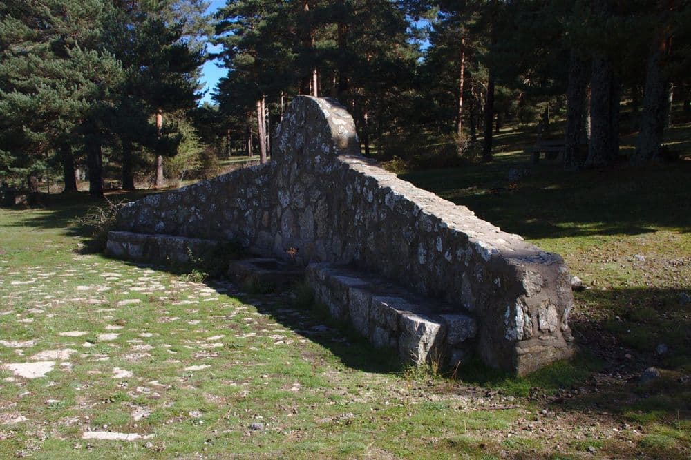
Finally we will descend passing through theRefugio de la Naranjera (25), surrounded by groves with tits, blue tits, nuthatches, wrens, jays, and the species already mentioned above. Flying overhead, we can see griffon vultures, until reaching theFuente de las Negras (26). It was here, in Pinares Llanos, where in the spring of 1848 the professor and resident of San Lorenzo, D. Mariano de la Paz Graell Agüera first described a wonderful butterfly (now protected), which he named Graellsia isabelae Graells, in honour of Queen Isabel II of Spain. From here we take the paved track that goes down to San Lorenzo. Passing over the Arroyo del Tobar, to the left, one can see theArca de San Juan (27).
Our path joins with thetrack that came from the Fuente del Cervunal (28), reaching thePuerto de Malagón (29), where the remains of a snow pit can still be seen. At the end of the curve, we leave the asphalt until we reach, a few metres later, the Camino de los Gallegos andla Fuente del Trampalón (30). This path surprises with its biodiversity, with larches and a grove of beeches in the vicinity of theArca de la Merinera (31). Descend and cross the road, arriving at the Cordel del Valle. Cross and go through a gate next to an electricity pylon to reach the wire fence, which we follow to the Presa del Romeral. We go down, passing by theArca del Romeral (32),and we reach the Avenida del Conde de Aranda, flanked by horse chestnuts, where the route began, until reaching La Lonja once again.
31 paradas







Mountain route through Abantos and La Naranjera, a demanding journey through pine forests, springs, viewpoints, biodiversity and historical traces of the natural environment of San Lorenzo de El Escorial.