National Heritage
San Lorenzo Town Hall
Tourism of the Community of Madrid
Magical Towns of Spain
Located on Mount Abantos, it offers the possibility of discovering the ecosystems of the area, traditional forestry practices, and the interrelationships between the Sierra and its surroundings. A signposted itinerary of barely 2.2 km allows access for interested hikers.
1. Euroforum.We will depart from the Euroforum Felipe II car park, the start and end point of the circular trail «Los Tesoros de Abantos. Un paseo de ida y vuelta hasta el Arboreto Luis Ceballos». The route, with an initial uphill section to the Arboreto and another downhill section returning to the Euroforum Felipe II, invites us to discover the natural and historical-cultural richness of this mountain. The hotel Felipe II, now Euroforum Felipe II, is used as the venue for the Summer Courses organised each year by the Universidad Complutense de Madrid. To do this, we will carefully follow the description of the route. From the Euroforum car park, we go down the road (Avenida de Carlos Ruiz) to the junction with Calle Pinar, which is the first on the left. We ascend and take, again to the left, the street camino de la fuente de la bola, next to a villa called «Serranía».
2. Among pine forests.The climb to the Bola spring allows us to appreciate a division of the pine forest, carried out in 1923 for the construction of what is known as the Colonia del Romeral. This project intended to build a funicular to the Abantos peak, where a hotel casino would be installed. This plan was never carried out. The species of pine observed in this section is known as the European laricifère pine, which, along with the Scots pine and black pine, were used in the reforestation carried out at the end of the 19th century.
3.Ball Source.Rehabilitated in 1992 by a workshop school, despite having periods of drought, it has always been one of the most attractive corners for the local population. Leaving the fountain area, to the right we head towards the dam road. We turn left and follow it for a short uphill section towards Abantos, until reaching the first bend, where we will leave the asphalt.
4. Repopulation.The extensive mass of pine trees visible from here is due to the reforestation carried out at the end of the 19th century by the Escuela de Montes, which was located in San Lorenzo until 1914. From the dam fence, a stone wall can be seen among the pines known as the Pared Maestra or Gran Cerca, which marked the boundaries of the royal properties. The Pared Maestra, stretching around 50 km, divides what was royal property from the time of Philip II to the present day. During the reign of Charles IV, the fence reached a greater height, leaving gaps called saltaderos, through which abundant game passed. Its gates were used as places for collecting tributes. In this section, our route coincides with the red and white markings of the long-distance trail (GR-10).
5. Romeral Dam.We are surprised by the appearance of a dam —that of Romeral— with two walls that are actually dams from different eras. The first, made of granite, was built by Juan de Villanueva during the time of Charles III. In the reign of Alfonso XIII, with the increase in population, the need arose to build a larger one. Both originate from one built by Philip II, of which today we can only see remains of the original mortar wall. A few metres away, our path is squeezed between a metal fence and a stone wall. We continue until we reach some stairs which we will descend. At this point, our itinerary separates from the GR-10.
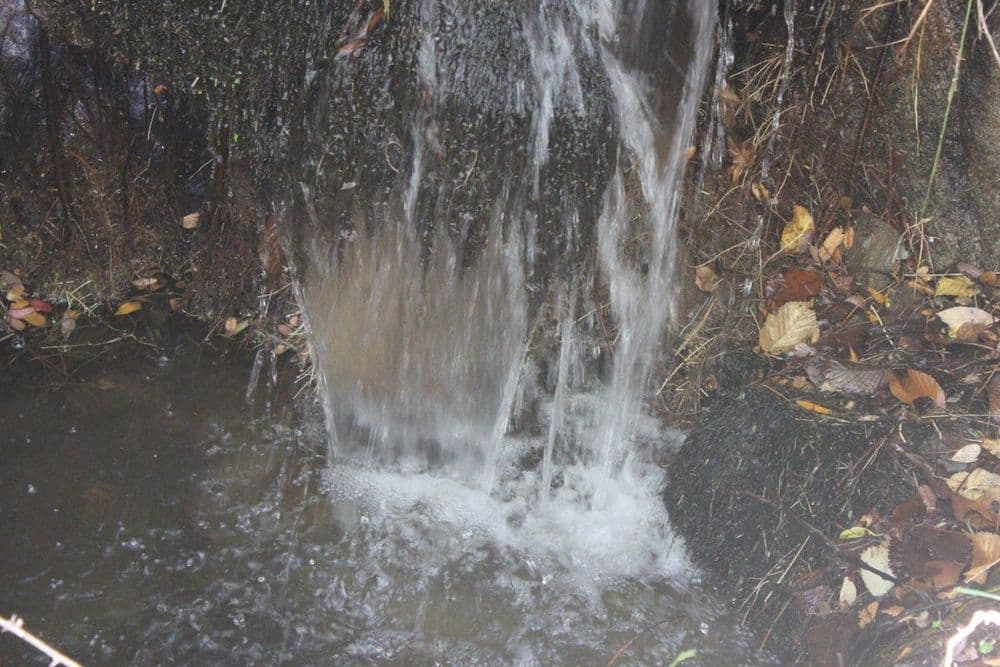
6. Parque Fuente de la Teja.Its real name is Parque Forestal Miguel del Campo, author of the reforestation project of the pine forest where, in addition to the formidable diversity of trees (maples, elms, poplars, chestnuts, cherries, lindens, oaks, etc.), two of the best-known fountains are found: la Currutaca, an initiative by a group of enthusiasts, and la Teja, which takes its name from the tile through which the water pours. Our walk runs over the channels sealed with granite slabs of the ancient distribution network. In rainy seasons, we can hear the murmur of the water passing underneath. We will move forward until we find a metal gate that leads to a dirt path: the Cordel del Valle. There we turn left to continue…
7. La Cañada.As we ascend, we enter the pine forest. The path is actually a branch of the Cañada Real Leonesa Oriental: the Cordel del Valle, part of the network of livestock routes, of great importance in Spain's livestock history. The cañadas connected the north and south of the peninsula through a network that facilitated the movement of livestock for better use of the pastures. For years, the country's economy revolved around cañadas, cordeles, and veredas, which constituted magnificent green corridors with abundant flora and fauna. Alongside these routes, shearing areas and resting places were created... which were a source of income in many local towns. Currently, they constitute a proposal for green leisure that may save them from the constant threats they have been facing. About 150 metres away there is a beacon, next to a cement manhole, which indicates the continuation of the path to the right. We now ascend through the pine forest along a very stony path until we reach a crossroads.
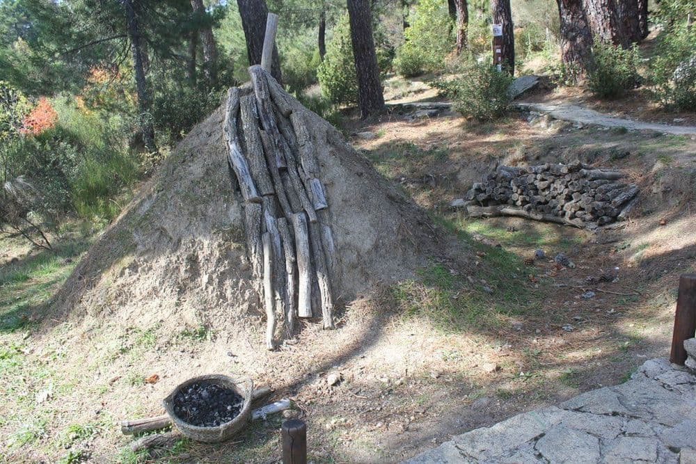
8. The pine forest is not to be trusted.In this place, we find a few specimens of holm oak and oak which indicate, along with other associated plant species (sticky cistus, brooms...), that we are in an ancient mixed forest of oaks and holm oaks, and that the pine forest was more sparse. The overexploitation of these species through charcoal production, grazing... and the reforestation with pines determines the current appearance of this area. Upon reaching the fork, marked with a beacon, we take the steeper path to the left, instead of continuing straight ahead. We continue the ascent and then come across a small fenced enclosure: it is the «Vivero de los Gallegos».
9. Vivero de los Gallegos.These orchards were granted to forest agents for their use and enjoyment, cultivating various fruits and vegetables through terracing. This system of terracing in banks was also used in the so-called flying nurseries, scattered throughout the pine forest. Their objective was the supply of plants for reforestation.
10. Seen…In this section of the route, remains of eaten pine cones and some droppings indicate the presence of animals such as squirrels, mice, etc.
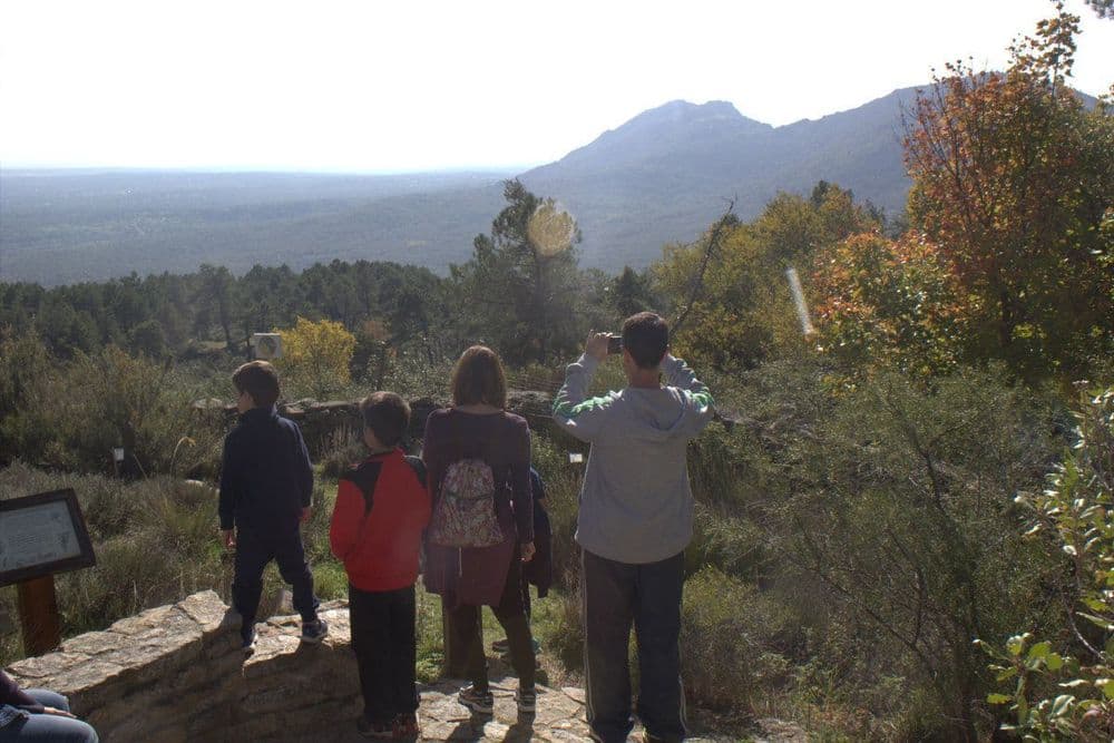
11. … and that's that.By sharpening our senses, we can hear the songs of different birds that find shelter in the pine forest: tits, chaffinches, cuckoos, woodpeckers or robins. A little further on, we have to cross a wire fence with a metal gate. Now the route allows us to enjoy spectacular views of the surroundings and the nearby villages until we reach several junipers located on a bend that opens to the right.
12. The junipers.Some specimens of common juniper stand out among the cistus, which dominate this cleared area of pine forest. Its small leaves, with two white lines on the upper side, help us recognise this species. To the south, in the direction of Las Machotas, an old quarry can be glimpsed which, after serving as a landfill for inert materials, has finally been sealed. Some of the peaks and passes of the south-western sector of the Sierra de Guadarrama, the closest to Gredos, can be easily seen from this point: San Benito, Cerro Cabeza, Cerro del Telégrafo and Puerto de la Cruz Verde.
13. A step away from the Arboretum.Finally, after the effort of the climb, we reach the paved track. A few metres to the left we reach our goal: the Arboretum.
14. Luis Ceballos Arboretum.This is a place where, either through self-guided tours or led by educators, we can learn about Spanish forests. It is immersed in a lush pine forest, which originated from the reforestation started by the School of Forestry Engineers at the end of the 19th century. Luis Ceballos was a Forestry Engineer born in San Lorenzo de El Escorial in 1896. He carried out important botanical and forestry work, and held the Chair of Botany at the School of Forestry Engineers. His ideas, innovative for the time, regarding the value and conservation of native vegetation, remain relevant today.
15. We begin the return.After visiting the arboretum, we will exit to the left and travel about 500 m along the paved track, observing the variety of tree species among the pine forest. Leaving the Fuente or Caño de los Llanillos (currently dry) to the left, we still have 75 m before beginning our descent to the left, past the wire fence. We veer off onto a path between maples, ashes, cedars, and Spanish firs. The path descends south for about 80 m to a stone fence, which we cross easily as it is broken. We join the Acacias path, next to a sign indicating fire danger. Let us observe the green and grey lichens covering the rocks and trunks. These are the union between a fungus and an alga, indicating their presence due to low pollution levels. Our path turns left, initially for about 300 m parallel to the stone fence we had crossed. We will arrive at a more open area within the pine forest with several pollarded ashes.
16. The ash of the earth.We are in an ash grove. These are deciduous trees with a good stature. The trunk is thick and the bark is grey and cracked. This species is distributed across the western Mediterranean and grows in all types of soils, as long as they maintain a certain level of moisture. In large groves in the area, we can see the typical image of the pollarded ash, in which all its branches have been pruned. Its leaves and twigs are frequently used as fodder for livestock. Now the path diverges from the fence to descend through the forest. At the beginning of the descent, we will see the Valmayor Reservoir in the distance, then we cross a pine grove and the fern glade appears before us.
17. The Ark of the Helechal.Here we find a construction of granite ashlar. It collects the waters from the Arca del Helechal stream, from Las Colmenas or from Las Chorreras, which serve to supply the Casita del Infante. Through its metal grate, three distribution channels can be observed. One is for the decantation of solid materials, another to separate floating materials, and the third for the channeling of water. We cross the stream to see the arca. Now the path continues to the left, parallel to the stream. After about 150 m, we reach a wide dirt road from where we can contemplate a magnificent view of the Puerto de la Cruz Verde and the Cerro San Benito. We follow the path on the left.
18. The stone walls.These stone walls were built by the so-called «parederos», who were paid according to what they had built, which was measured in "paredes". Each "pared" was equivalent to 2.75 m. We pass under the power lines and come across two metal gates. We will go through the one on our left, remembering to close it afterwards. Now the path runs flat for about 700 m through the pine forest. At first, we will walk between a wire fence with a stone wall on the right and the power lines on the left.
19. Overhead power lines.We descend a few metres and, shortly before the Euroforum Felipe II car park, we can observe the Arca del Romeral or del Cascajal. From here, water flowed to the centre of the population to supply fountains, mills, watering holes, and for domestic use. We have reached the end of the "Los Tesoros de Abantos" trail. Now we deserve a good rest before returning home! We continue along the path and now see that the pipeline crosses to the right after passing two cement and brick manholes. We pass two more manholes and look out for the electrification poles, as next to one of them there is a metal gate to the right of the path, through which we will continue our descent. The Romeral Reservoir is now to our left, delimited by a metal fence. The path descends through a pine forest with an abundant understorey of sticky rock-rose. We will continue descending through steep and stony terrain alongside the metal fence and, when it ends, we will continue straight ahead to the road at the foot of the dam wall.
19 paradas







The Los Tesoros de Abantos path is a 2.2 km circular route connecting the Euroforum Felipe II with the Arboreto Luis Ceballos. A route through pine forests, springs, viewpoints and forestry heritage to discover the natural wealth of Monte Abantos.