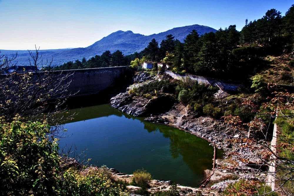
This route runs towards the El Malagón resting place via the Cañada Real Leonesa.
Section A
- The tour begins at the highest part of the village, to the west. We will use the directions to access the Euroforum Felipe II as a reference, but we will not reach it.
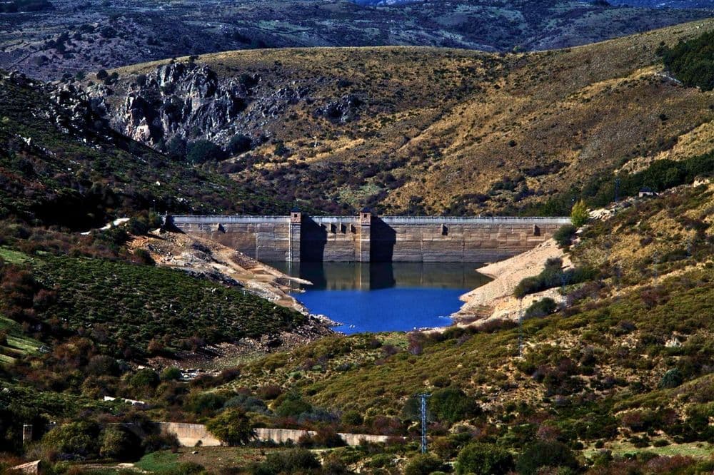
- We ascend until we reach Presa Street, along which we will continue up to the wall of the El Romeral dam, where our path begins. At this point, the road turns sharply to the right, and a narrow path begins that leads to the curious viewpoint of the Casa Rústica, overlooking the El Romeral dam.
- The wall, which can be seen in the modern dam, is said to be the work of Juan de Villanueva, built during the reign of Carlos III.
- Only some remains of the original dam, built in the times of Philip II, still exist. In the centre of the reservoir, remains of another wall belonging to the dam built during the era of Alfonso XIII can still be observed.
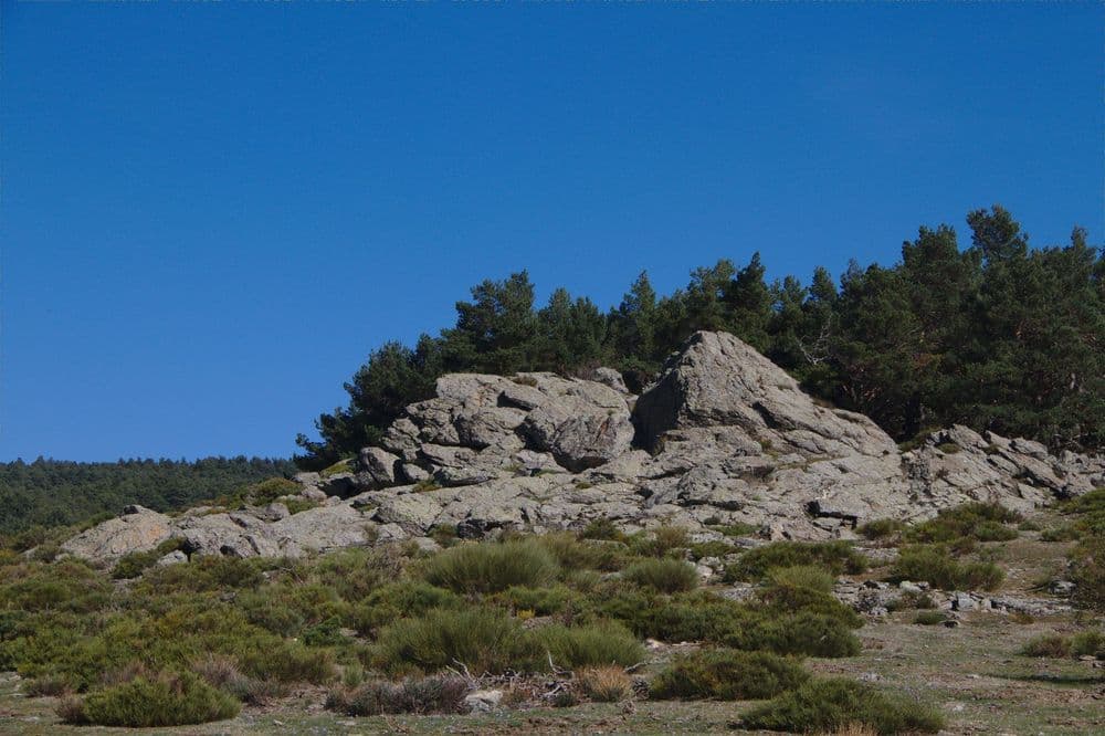
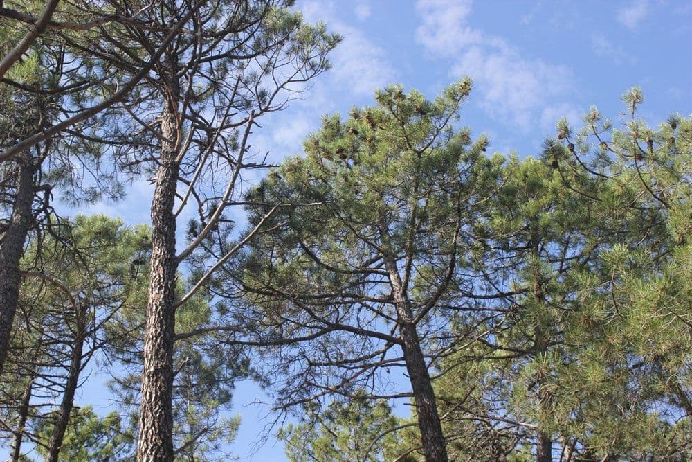
- The path runs through a pine forest of Austrian pine (Pinus nigra) with cedars (Cedrus atlantica), nestled between the dam fence and the remains of the Great Royal or Master Fence, which delimited the royal properties. The path is easily recognisable by the red and white markings of the Long Distance path (GR-10), which will accompany us in several parts of the route.
- Immediately afterwards, you reach the Teja Fountain Park or Miguel del Campo Forest Park, built in 1929. In this area, a great number of birds can be observed, such as the noisy great spotted woodpeckers (Dendrocopos major).
- A little further up, below the cliffs, we find the Currutaca spring and nearby a ruined building.
- In this area, the reforestation work of the Monte de la Jurisdicción began in 1892, carried out by the Escuela Especial de Ingenieros de Montes.
- We will continue along the path parallel to the El Romeral stream, leaving the small valley with the two springs and the water pipes on the left.
- We ascend gently once again among the dense woodland of oaks (Quercus robur), sycamore maples (Acer pseudoplatanus), horse chestnuts (Aesculus hippocastanum), limes (Tilia platyphyllos), and some cherry trees (Prunus avium).
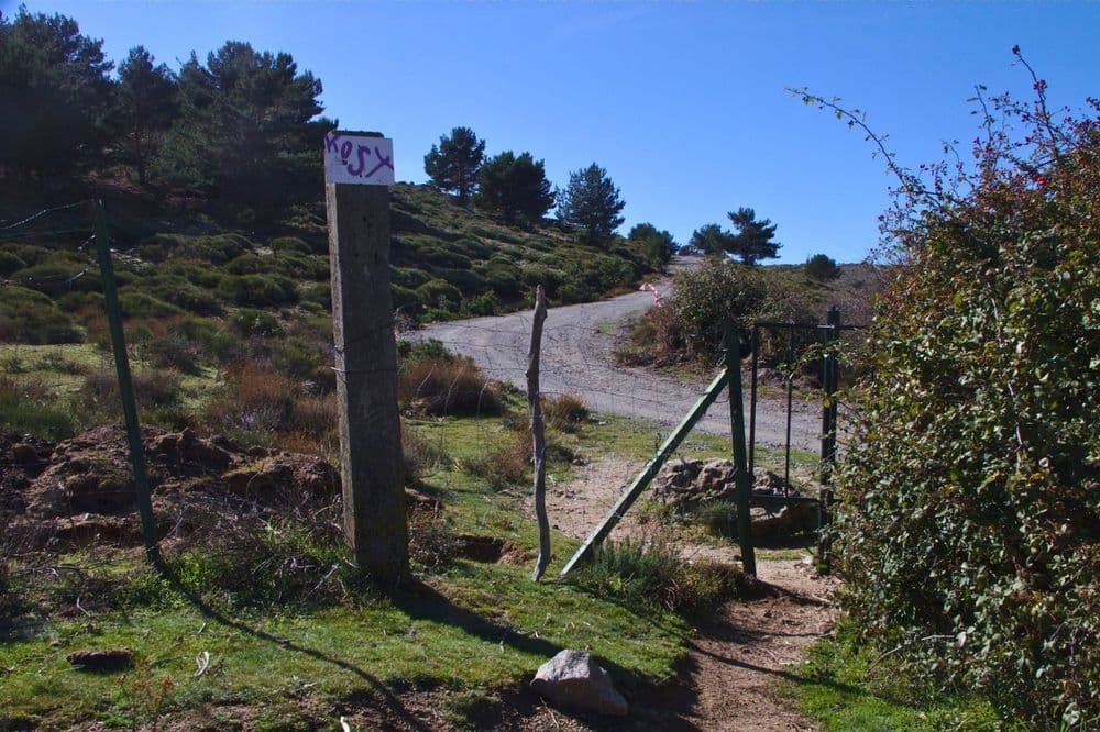
- We proceed this way to the forest track that descends from the road. We cross, looking for the path that continues until it leads us to a small gate in the metal fence. At this point, we encounter the Cordel del Valle, a forest track that is actually a branch of the Cañada Real Leonesa, which will lead us to it, to ascend to the San Juan de Malagón pass. We can also traverse this short section over the granitic slabs that cover the water distribution channel feeding the dam. We will observe that a large number of thorny shrubs, such as the blackberry (Rubus ulmifolius) and the blackthorn (Prunus spinosa), accompany this curious path. A little further up, the entrance to this channel can be seen, with a width of about 50 cm and an underground height of one metre.
Section B
- The itinerary runs to the left, along the line which we follow for about 30 m, until we locate some manholes of the water collection and distribution network, where we find a path that ascends directly. We continue this ascent through an eroded area using a large rock as a reference. Further up, we reach a fork, where a wooden stake will serve as a reference to take the right-hand branch.
- This path runs through resin pines to the road, after crossing a fenced area called “vivero de los Gallegos”. Cultivated cherry terraces can be seen. This is what remains of a small orchard, some of which were granted to forestry agents for their use and enjoyment, cultivated by terracing in banks. Continuing along the path, we will reach an area with recent reforestation of pine and holm oak.
- Immediately afterwards, we will reach the road at a point near the Fuente de la Concha. Our path continues straight ahead, following the power lines to the resting area and the San Juan de Malagón pass. We are in an area where the dominant vegetation will be the Scots pine and, along the streams, some willows, brambles, and wild roses. Following the road to the left, towards the pass, we will find the Arboreto Luis Ceballos. If we decide to refresh ourselves at the Fuente de la Concha before undertaking the final stretch of the path, we must descend to the right along the road.
- Before reaching it, we will see a path to our left, next to a fire risk sign, which will lead us to a place where we will see a large beech (Fagus sylvaticus), Spanish firs (Abies pinsapo), and even larches (Larix decidua). Above the Concha spring, the silhouette of two giants stands out, magnificent specimens of Spanish fir. All these species were introduced in ancient reforestation efforts. The surrounding environment is the result of secular transformations that the natural vegetation has undergone. Potentially, it would be represented by a grove of Quercus pyrenaica.
- Furthermore, the solana situation favours the settlement of holm oaks (Quercus ilex subsp. Ballota), which ascend to these altitudes along with species associated with high-altitude holm oak forests (supramediterranean). However, we would be at the upper limit of this formation. For these reasons, in the Arboretum, shoots of Pyrenean oak and holm oak can be observed –since livestock can no longer browse them due to the closure of the enclosure– along with woody species such as gum cistus (Cistus ladanifer), laurel-leaved cistus (Cistus laurifolius), Florida genista (Genista florida), common broom (Cytisus scoparius), Spanish topping lavender (Lavandula stoechas subsp. Pedunculata), spindle (Daphne gnidium), lavender cotton (Santolina rosmarinifolia), common hawthorn (Crataegus monogyna), Miera juniper (Juniperus oxycedrus subsp. Badia), dog rose (Rosa canina, R. micrantha), blackberry (Rubus ulmifolius), etc.
- On the other hand, along the Arca del Helechal stream, the only watercourse crossing the Arboretum, the grey willow (Salix atrocinerea) and the narrow-leafed ash (Fraxinus angustifolia) grow spontaneously, their crowns forming a magnificent arboreal canopy.
- Opposite the entrance to the Arboretum, at the far end of the car park, there is also a path that climbs the hill towards the El Malagón pass. This is the ancient Peguerinos trail, which will lead us as an alternative route to the resting area and the San Juan de Malagón pass.
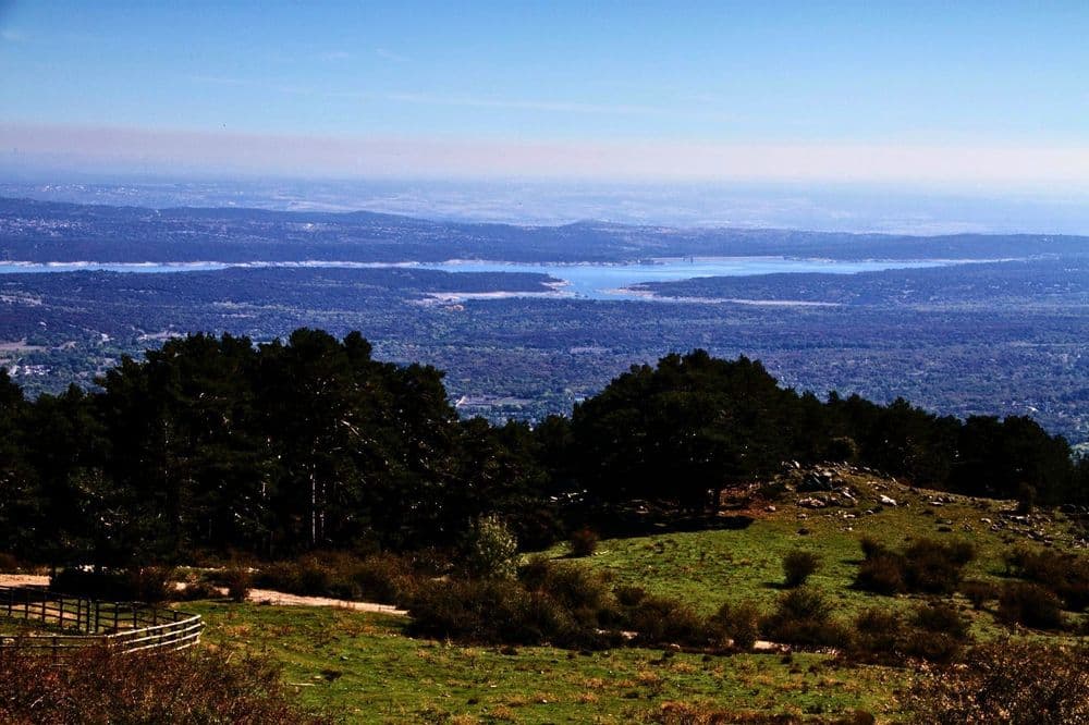
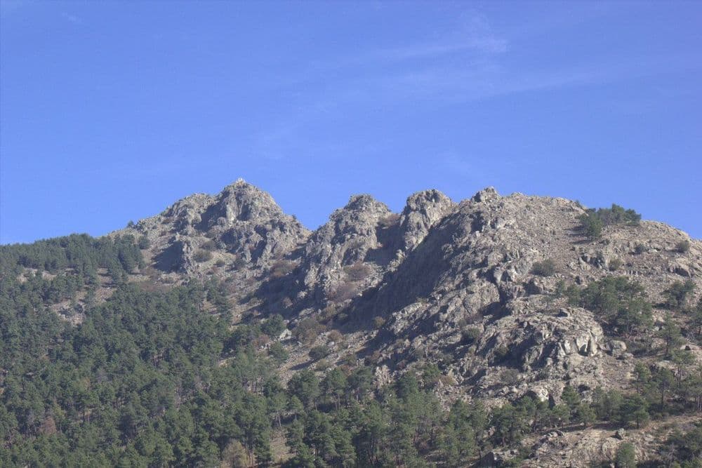
- At the top of the pass, at an altitude of 1,537 m, lies the resting area: a clear zone where mountain brooms appear. From this point, we will have magnificent views over the Tobar reservoir and the Sierra de la Paramera, the last foothills of the Sierra del Guadarrama, from where the Alto de Cartagena and its wind farm stand out. In the background, the first foothills of the Sierra de Gredos: Cerro Guisando, Cabeza de la Parra and, on clear days, even the peaks of the central part of the Sierra de Gredos, with La Galana and El Almanzor as the highest points of this range.
Section C
- We will return by following the road until we reach the track leading to the environmental education centre and the Los Llanillos recreational area. The environment is very shaded, and magnificent specimens of London plane, chestnut, and maple trees, among others, can be identified. However, next to the fountain, a century-old elm (Ulmus laevis) stands out, with over 23 m in height and a crown diameter of 16 m.
- Starting from a Canadian step, we will continue along the almost horizontal track always heading west until we find a faintly marked path to the left, so we must stay alert.
- As a reference, we will calculate about one hundred metres from where we leave the road heading towards Los Llanillos. The path widens and the stones that delimit it disappear. Here the trail begins. A little further on, as a stopping point to ensure we do not overshoot, we will find a round stone under a pine tree to the right of the path.
Section D
- This path descends steeply among pines and rockroses, following a zigzag route, popularly known as “las zetas” or “las siete revueltas”.
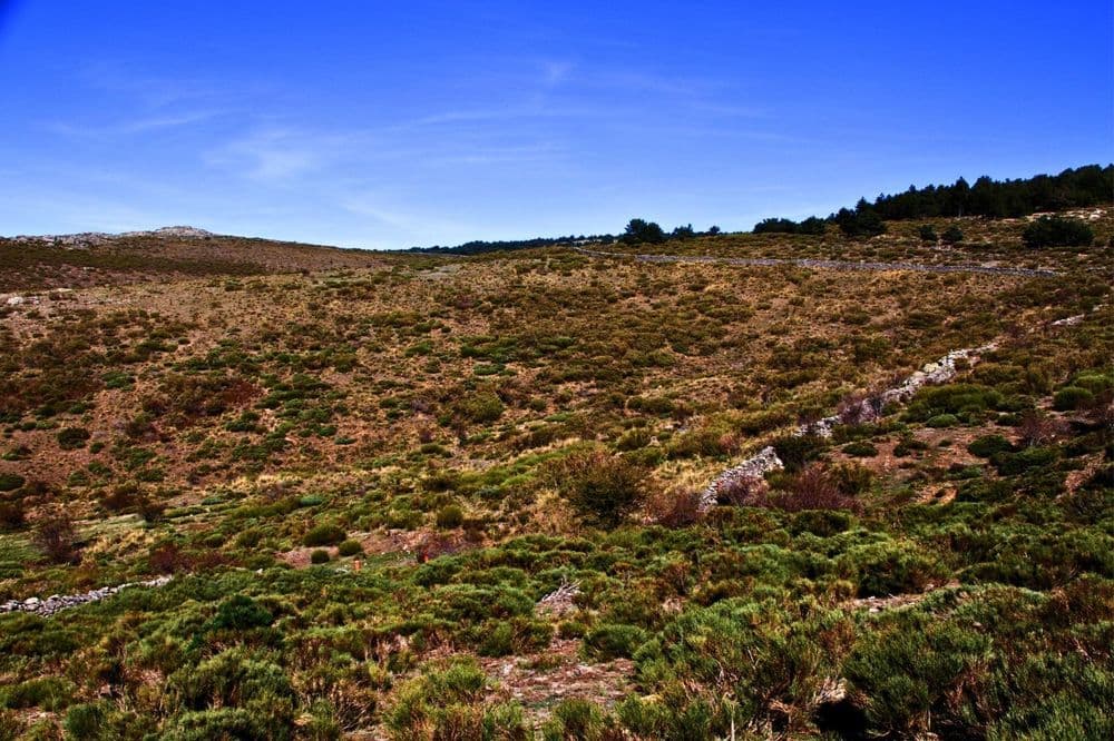
- When we left the forest, we found a track. We continued along it to the left, climbing slightly, following a stone wall and a game fence. The vegetation in the area consists of scattered shrubs and meadows.
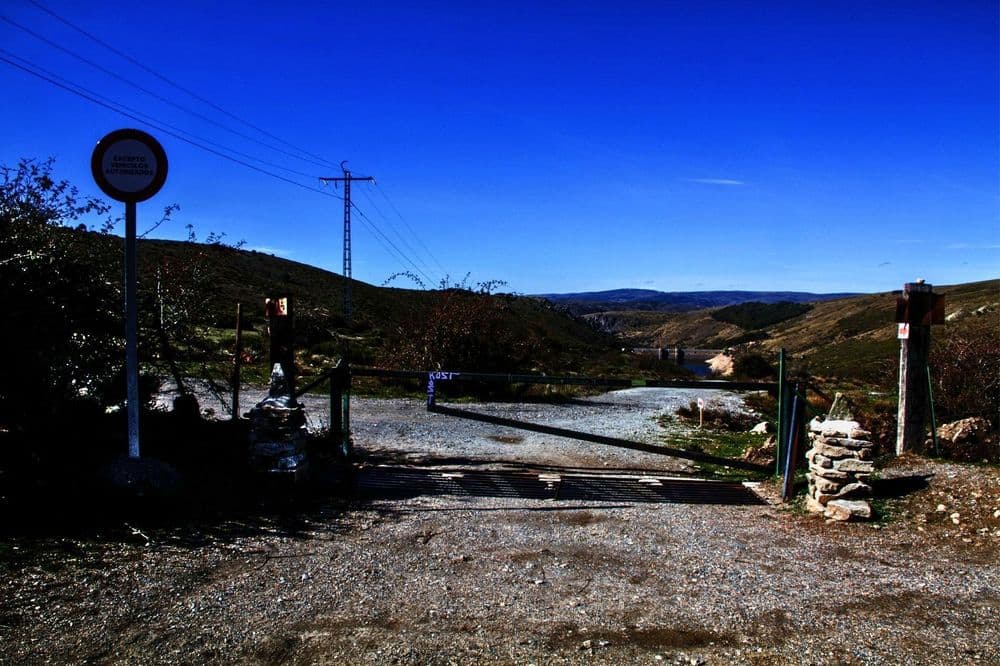
- Further ahead, we reach a junction with two gates; we will pass through the gate on the left. The route continues along the track parallel to the fence, which will lead us back to the start of the route.